


Connecting communities & scientists with maps, apps & drones.
Our Mission Statement:
We make geospatial technologies for science more accessible and understandable by fostering relationships between communities and scientists, of all ages, across the globe.


Who We Are
We are public scholars working to strengthen the connections between society and science through the use of geospatial technologies.
What We Do
We use geospatial technologies to power interdisciplinary research and education initiatives that support community-defined needs, assets, and goals.

Why We Do It
We support the next generation of science, one that includes more diverse voices and knowledge in scientific discoveries.

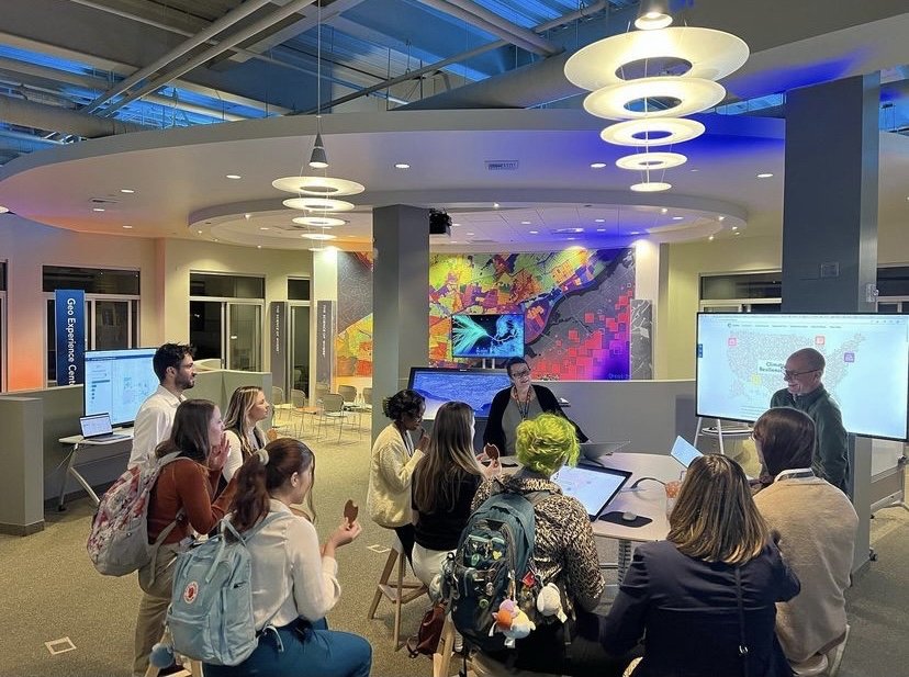
Explore Our Projects


NSF REU & RET
Supporting funded international research experiences for undergraduates & K-12 educators.
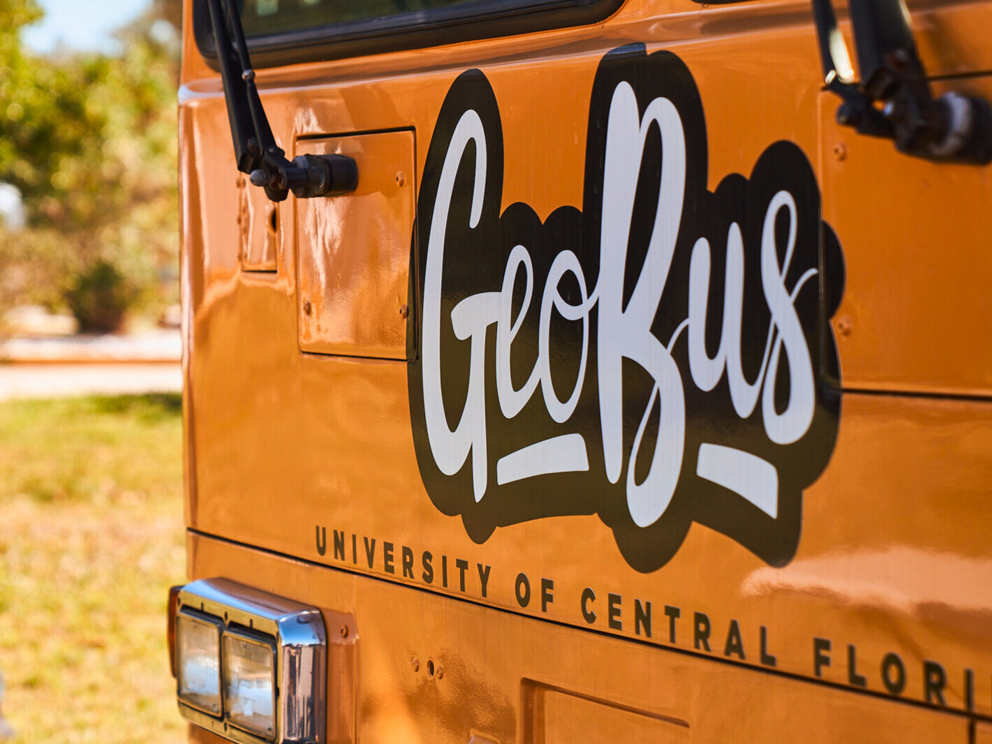
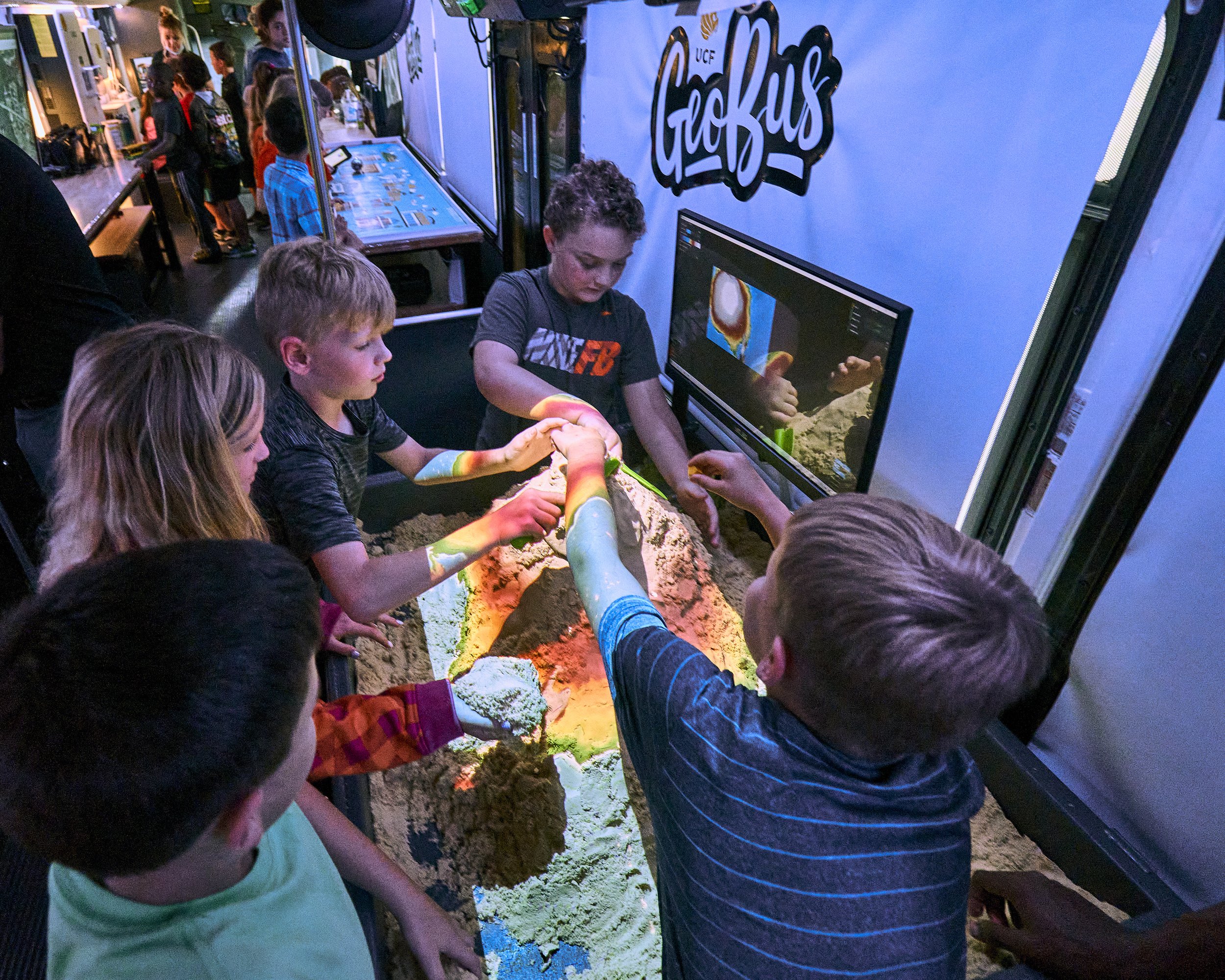
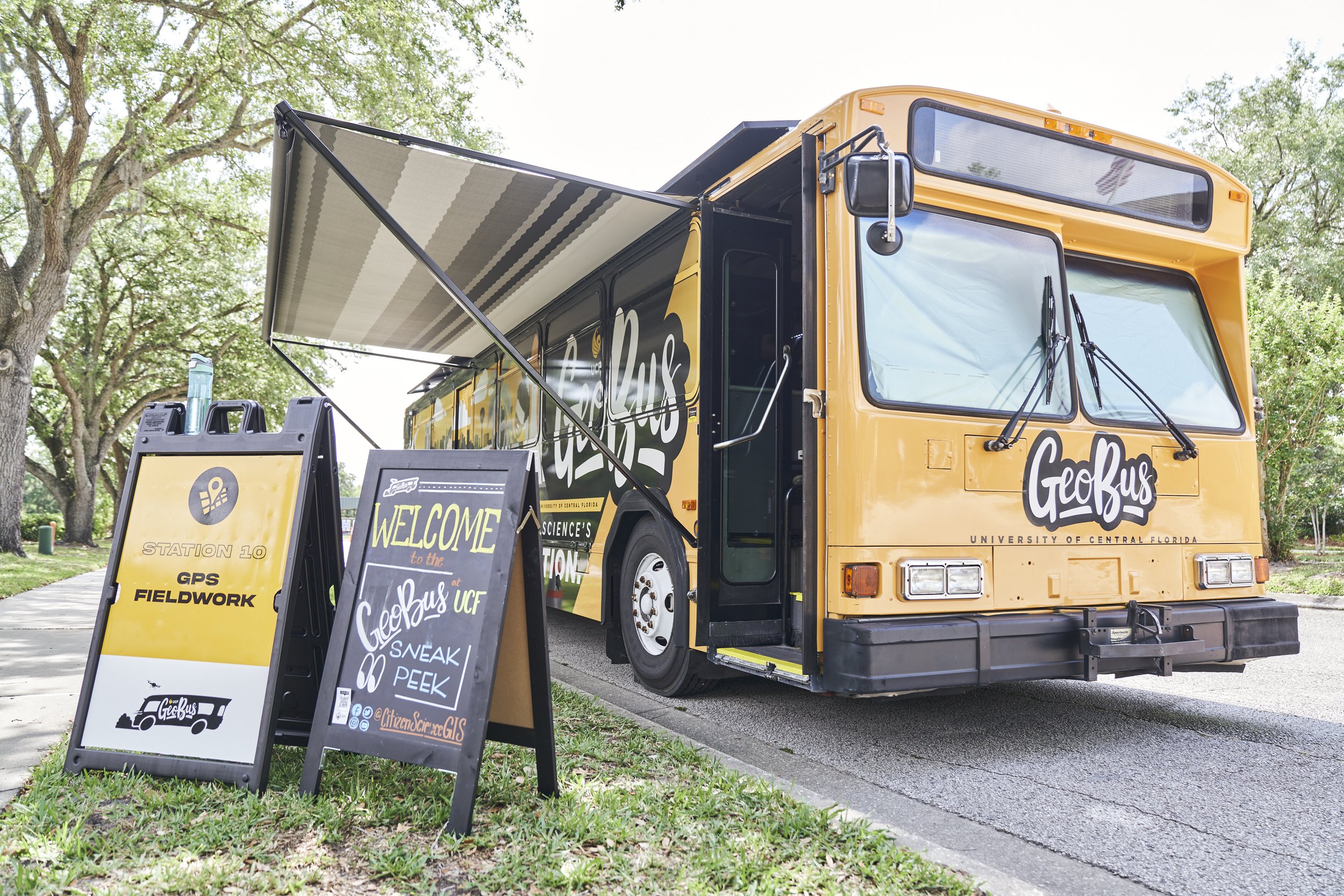
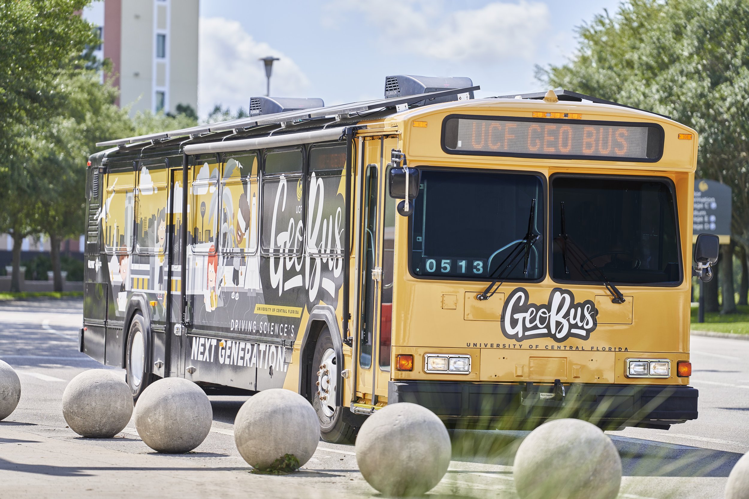
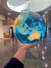
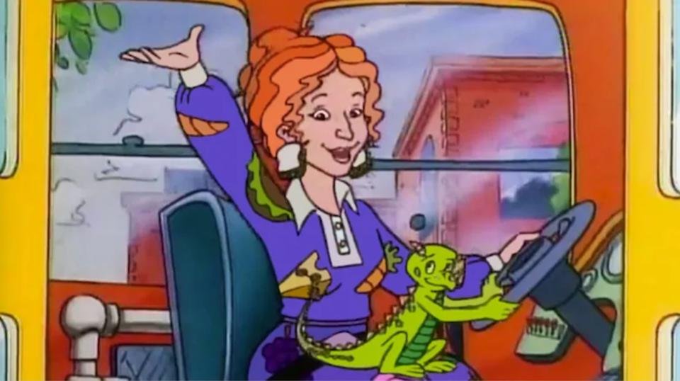
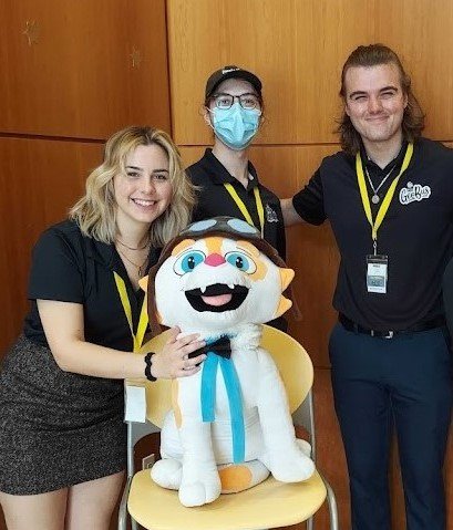
GeoBus
™
Driving STEAM education across Florida.

NSF
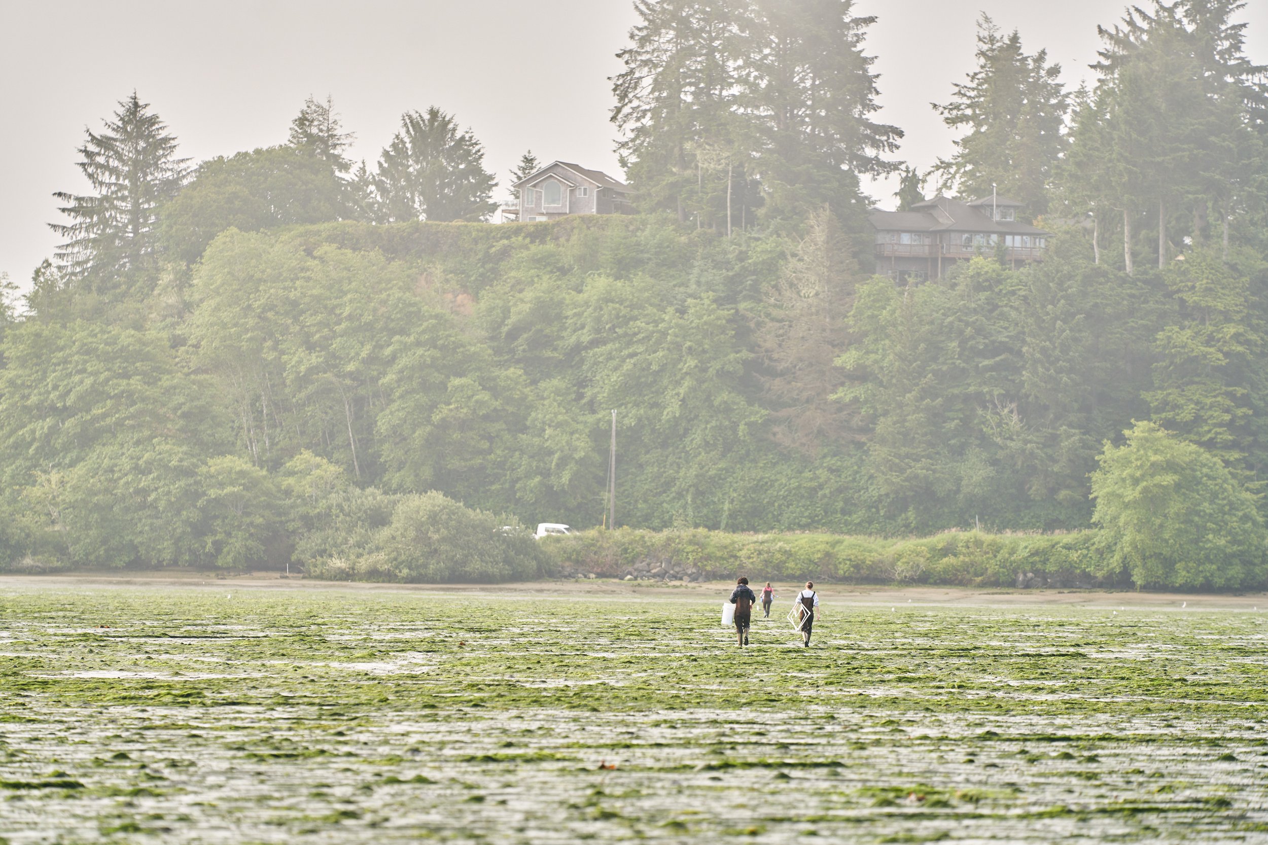
Smithsonian Drones
Drone mapping eelgrass on the Pacific Coast of North America.

Orange County Utilities
Drone mapping public water utilities.

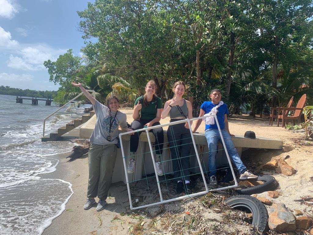
Open Reef
Exploring the Mesoamerican Reef in Belize.
Past Projects

Help Us Change Science
Donate
Provide resources to support change in science.
Volunteer
Inspire with your talents and expertise.
Partner
Work with us to change science.
Stay Current With Our Blog


Contact Us
Address
University of Central Florida
4000 Central Florida Blvd
Orlando, FL 32816
Email
partner@citizensciencegis.org
Phone
(407) 823-1030