
Be aware that the flow of the Gila River near the historic townsite of Cochran is established by releases from the San Carlos Dam upstream and, with seasonal runoff, is highly variable. When in doubt, don't cross the Gila River at Cochran. Instead, drive to the Kelvin Access Trailhead or the Florence-Kelvin Highway Trailhead nearby.
Read More
Location
- Gila River to Tonto National Forest Boundary
Length
- 26.0 miles
Southern Access Point: Kelvin-Riverside Bridge
- GPS Coordinates: 33.10228° N, 110.97494° W
Access
From the town of Superior, take AZ 177 south for 15.2 miles (MP 152.1) and turn south onto Florence-Kelvin Highway (next to RR crossing) for 1.2 miles through the community of Kelvin and cross the Kelvin Bridge. The passage begins at the south end of the old bridge. Parking is limited here since the new bridge was completed in 2018. Ample parking is available at the Florence-Kelvin Trailhead ~1.5 miles further west on the Florence-Kelvin Highway. Another option is the BLM trailhead at the end of Centurion Road (one-half mile into the passage northbound). Either location provides easy access to the Arizona Trail and an increasingly popular segment of this scenic trail along the Gila River.
Northern Access Point: Tonto National Forest Boundary
- GPS Coordinates: 33.18106° N, 111.13717° W
- NOTE: This trailhead is not directly accessible by vehicles. See adjoining passages for access.
Access
The closest way to access the north end of Passage 16 is to hike in on Alamo Passage from either Picketpost Trailhead (11.5 miles), or drive to the historic town of Cochran (follow Cochran Road south from the Florence-Kelvin Highway to the Gila River), cross the Gila River carefully, then hike north on the Arizona Trail for 9.3 miles. Forest Road 4 (Telegraph Canyon Road) is currently blocked south of the town of Superior due to mineral exploration activities. There is currently no way to access the Arizona Trail from this rugged jeep trail.
Trail Route Description

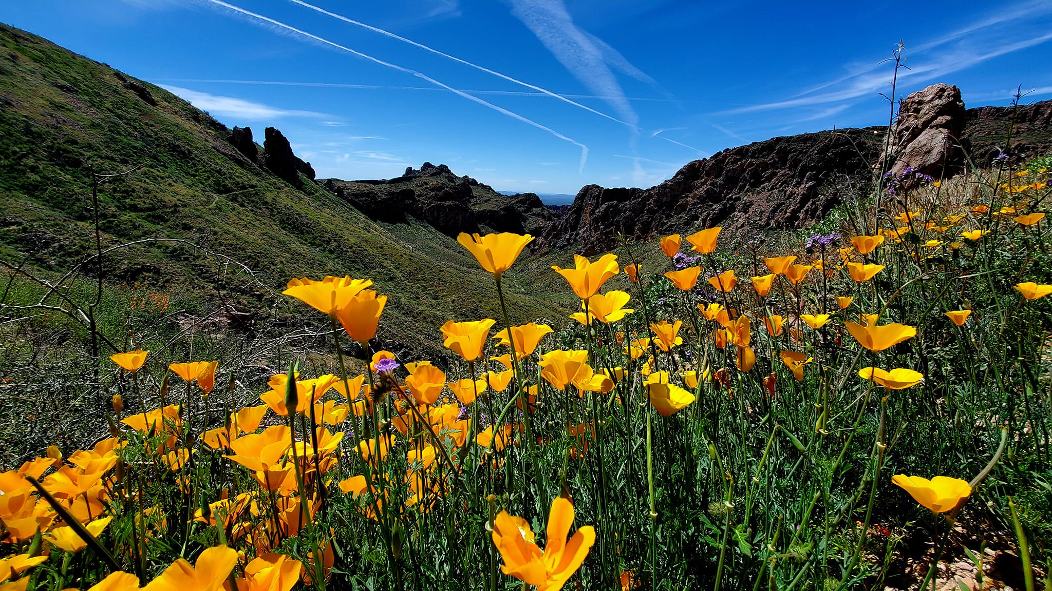
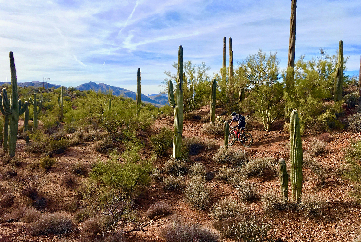
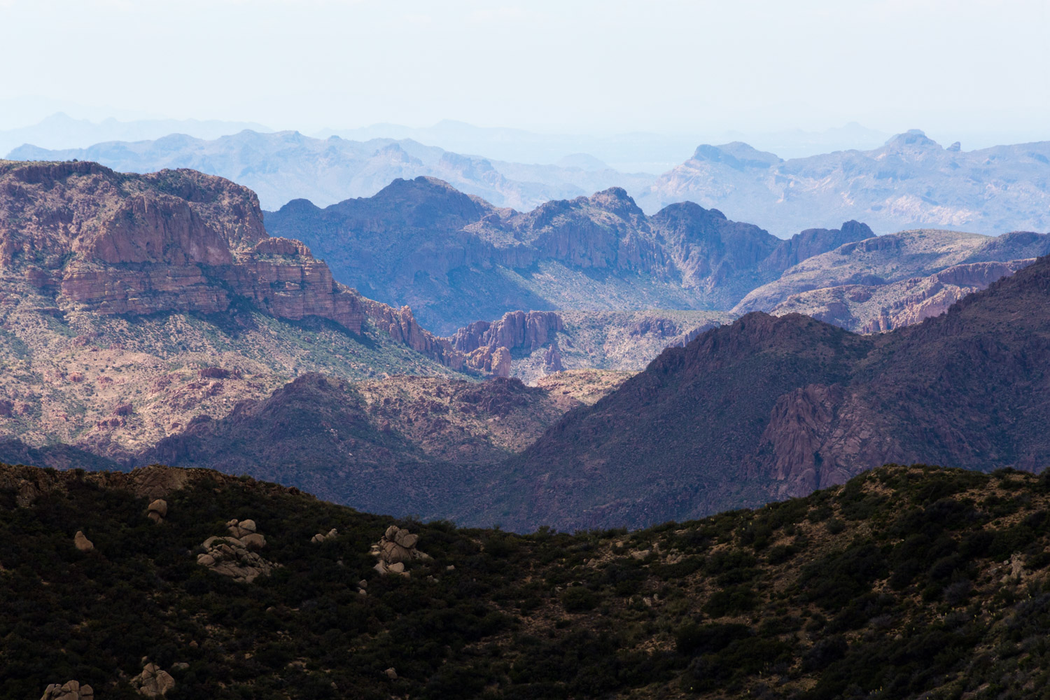
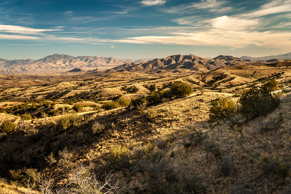
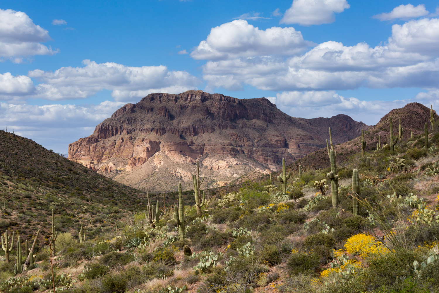
Passage 16 features the Gila River and the scenic Gila River Canyons. This section features a lush riparian environment with large cottonwood trees, spectacular gorge scenery, and some of the best wildflower displays in Arizona, including stunning blooms of Mexican gold poppies, bluedicks, and purple lupines.
This passage begins at the Kelvin-Riverside Bridge, crosses the Gila River, and briefly follows alongside railroad tracks. The trail consists of a winding singletrack that follows the Gila River for many miles, sometimes rising several hundred feet above the river. It passes through thick saguaro forests, and crosses numerous canyon drainages.
To the north are the formations that define the Gila River Canyons, including The Spine, Walnut Canyon Narrows, Copper Butte, and The Rincon.
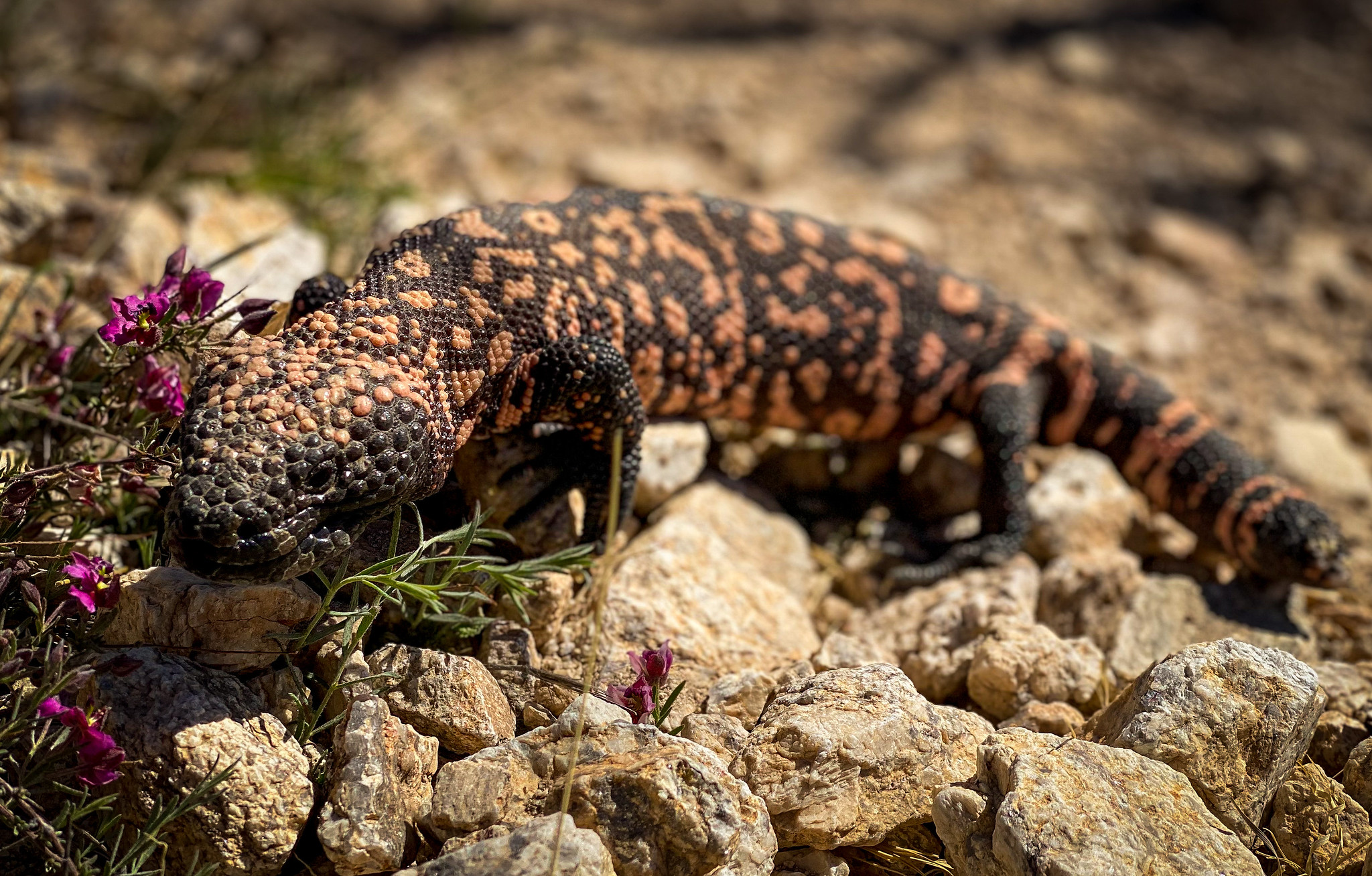
After crossing Walnut Canyon, the trail leaves the river and begins a long, steep climb to the north. The trail ascends steadily with views of deeply cut canyons, desert spires, dramatic geology and some of the most spectacular gorge scenery outside of the Grand Canyon! This remote area is prime habitat for bighorn sheep, mountain lions, and Gila monsters.
After traversing spectacular ridgelines and passing several deep chasms, the trail crosses the boundary of Tonto National Forest and ends at a gate on an abandoned road.
Difficulty
- Difficult
Season(s):
- Fall, Winter and Spring
- Current weather forecast
Water
Water sources are very limited along this passage, except for the Gila River which is usually murky/muddy. There is a Rainwater Collector as the northern end of this passage. Check the online Arizona Trail Water Report for current information at https://aztrail.org/explore/water-sources/.
Notes/Warnings
- All water along this passage should be purified prior to use.
- Although this passage crosses State Trust Land, a permit is not required as long as you are on or near the Arizona Trail.
- There is no access to the Arizona Trail from Forest Road 4.
- If planning to cross the Gila River near the historic town site of Cochran to access Passage 16 (Gila River Canyons) of the Arizona Trail, be aware that the Gila River flow at this location varies widely. It is controlled by the San Carlos Dam and, with seasonal runoff, is often unsafe to cross. The USGS Kelvin bridge gage at https://waterdata.usgs.gov/nwis/uv/?site_no=09474000&agency_cd=USGS is an indicator of flows but is several miles upstream from Cochran and may not fully reflect conditions at Cochran. When in doubt, access the passage from the Kelvin Access Trailhead or the Florence-Kelvin Highway Trailhead near Kelvin/Riverside.
Resources
- Map of Passage 16
- USGS Topographic Maps: Kearny, Grayback, North Butte and Mineral Mountain.
- BLM Information Center maps.
For more information
- The Passage Steward
- Arizona State Land Department, 1616 W. Adams St., Phoenix, AZ 85007 (602) 542-2506.
- Bureau of Land Management, Tucson Field Office, 3201 E. Universal Way, Tucson, AZ 85756 (520) 258-7200.
- BLM Information Center (602) 417-9300.
Current Passage Info
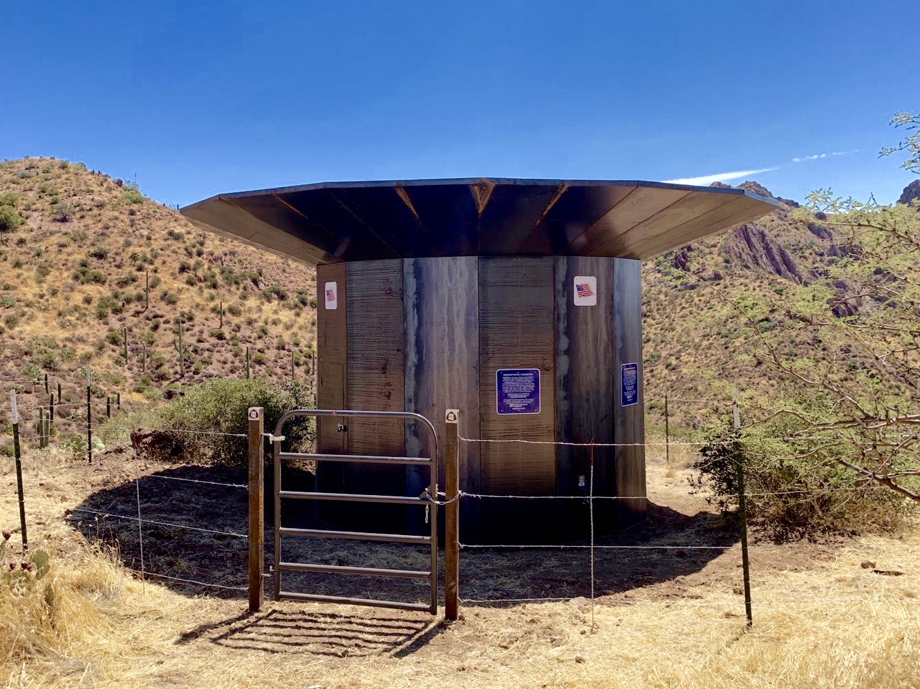
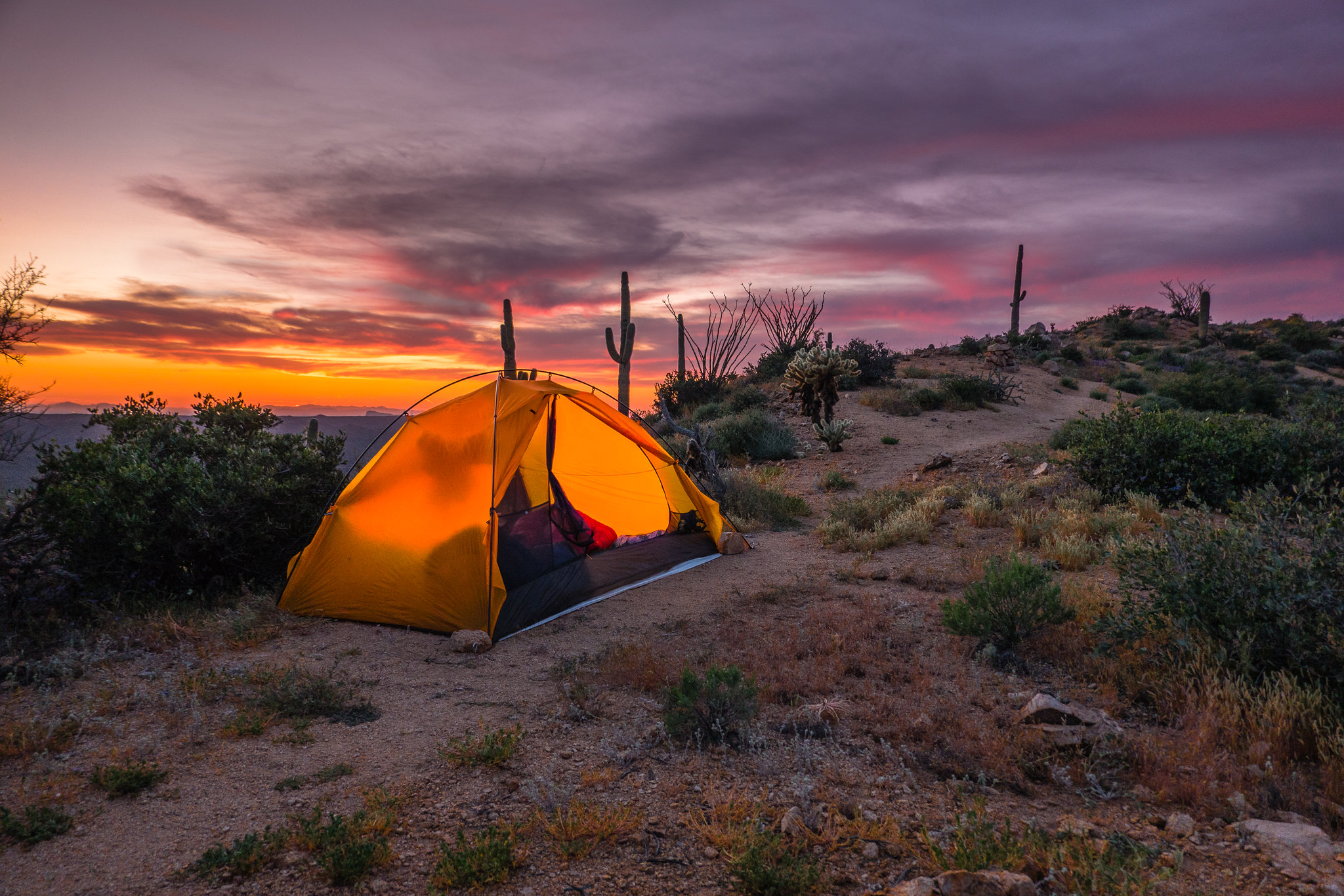
AZT Rainwater Collector
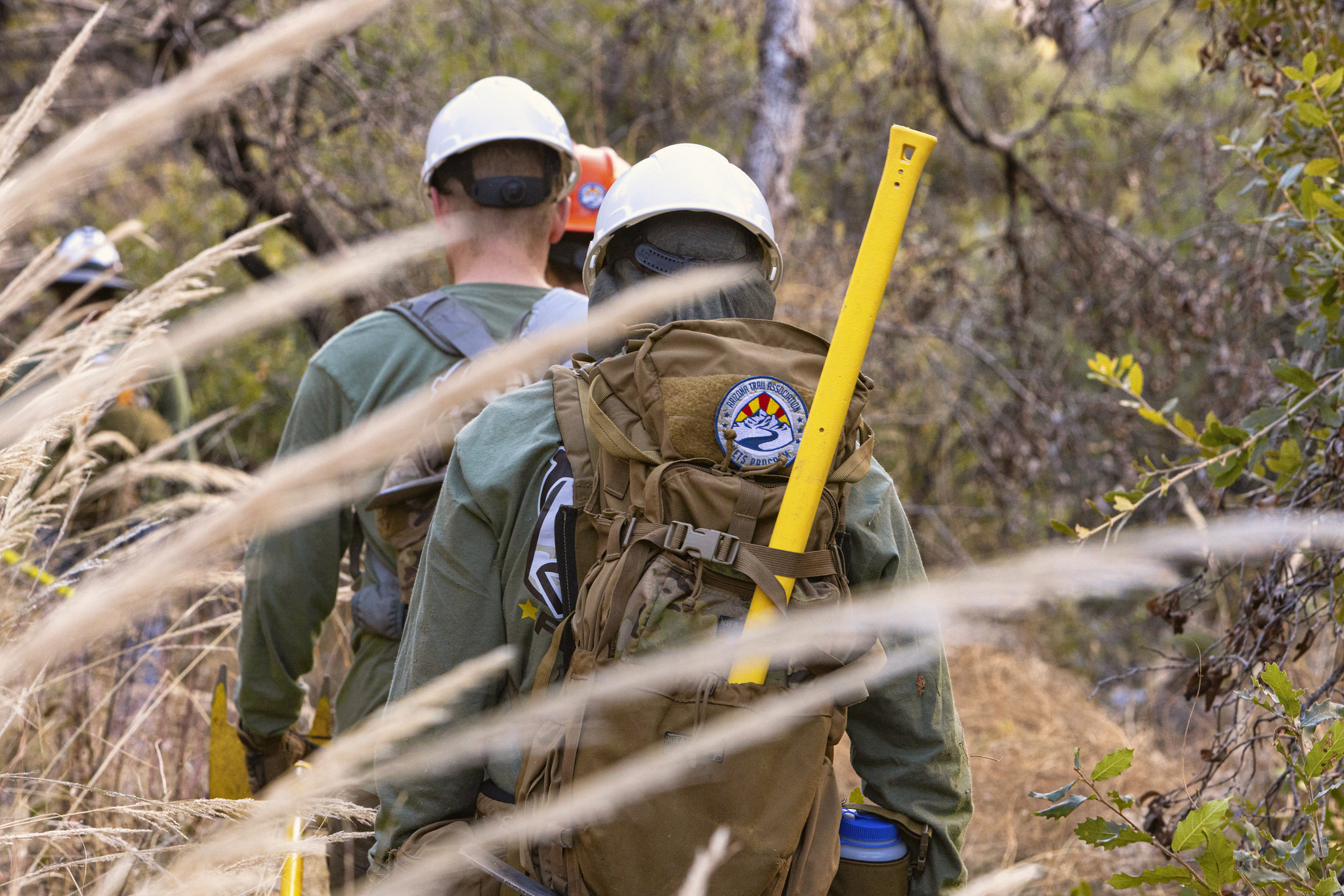
September 5, 2019
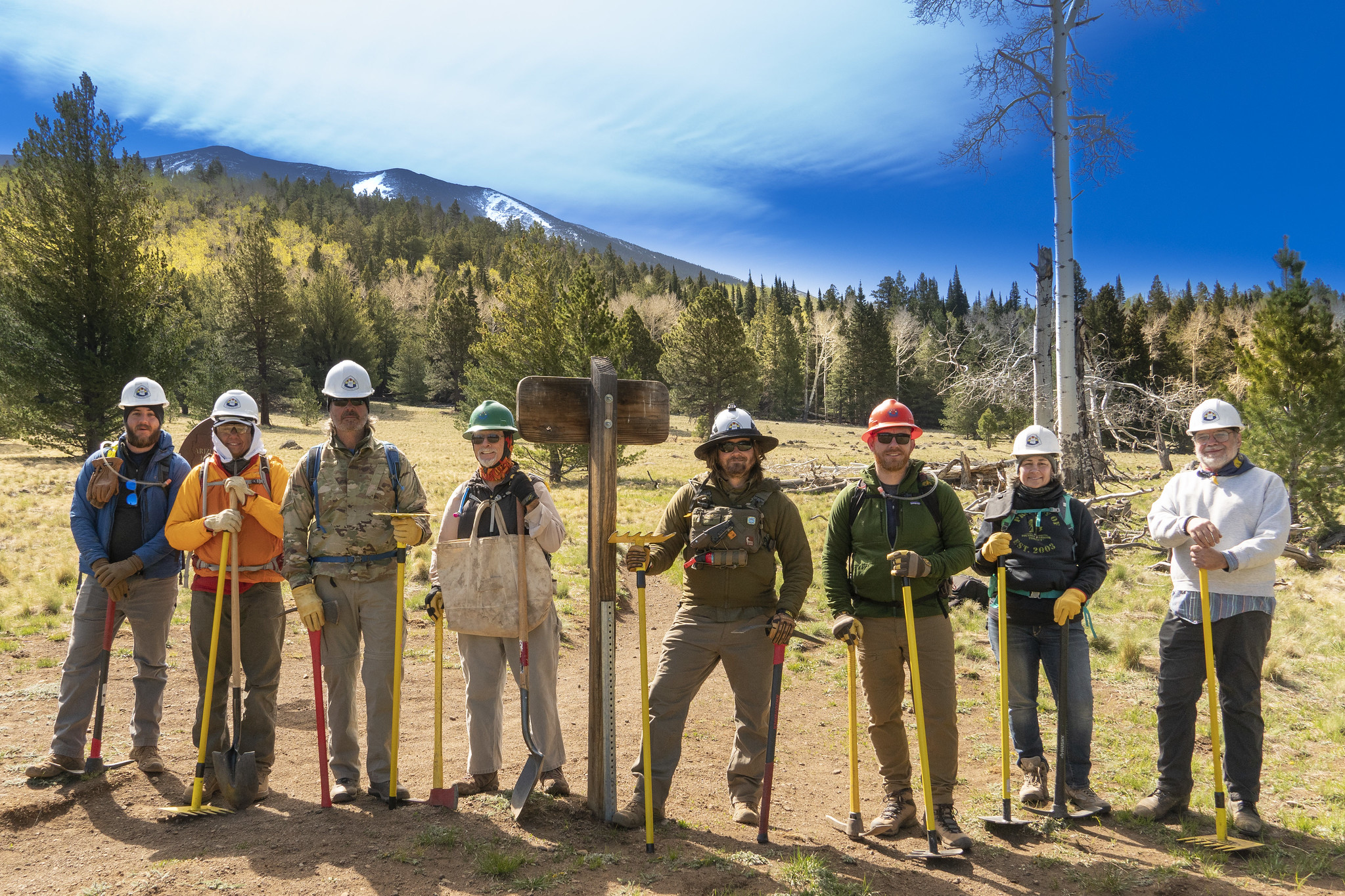
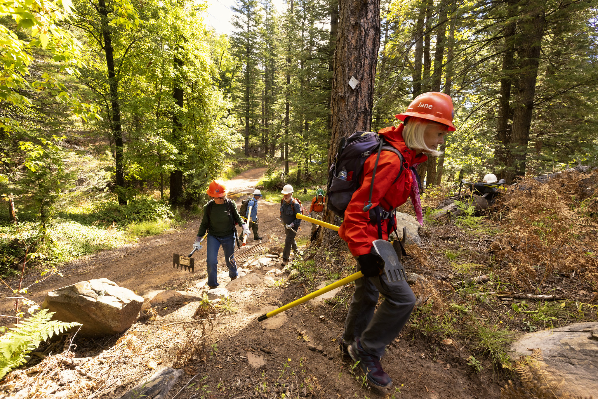
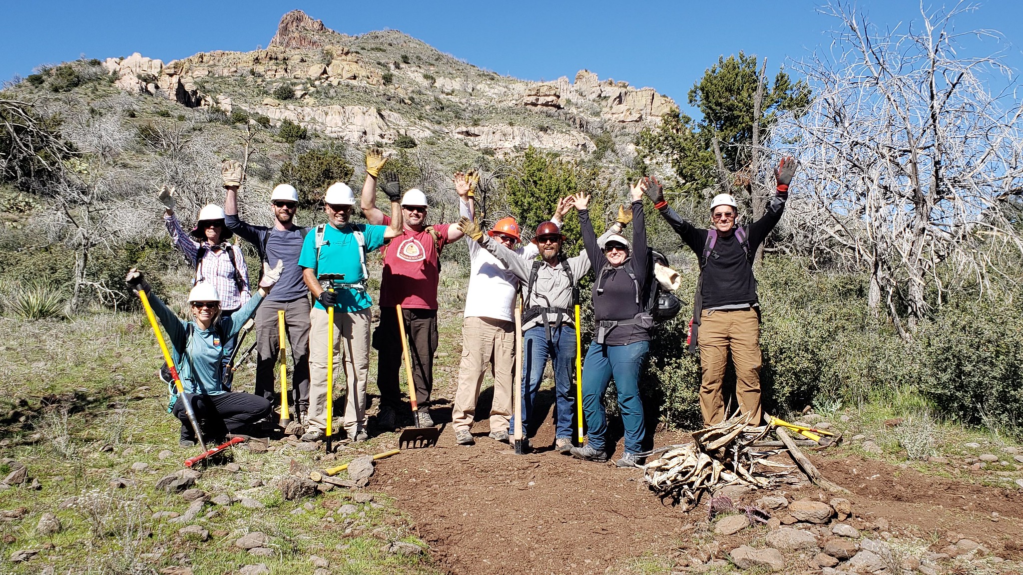
On August 30-31, a dedicated crew of eight Arizona Trail Association volunteers joined Assistant Trail Director Zach MacDonald to venture into a particularly remote segment of the Arizona Trail to install an AZT Rainwater Collector. This unit is the first of its kind and was designed by the Arizona Trail Association and metalsmith extraordinaire Rob Bauer in consultation with sustainability professionals, land managers and engineers. It features a steel apron that catches rainwater and stores the precious resource within a 1,500-gallon tank that is protected on all sides by steel panels. A spigot with an automatic shutoff valve allows trail users to fill and filter their bottles along this very dry and exposed segment of the Arizona Trail. Once the tank is full, an overflow pipe fills a steel water trough nearby for the benefit of wildlife. The entire unit is fenced to keep livestock out, and posted signs inform trail users that the water must be filtered before consumption. The AZT Rainwater Collector is located halfway between reliable water sources at the Gila River and a windmill near Picketpost Trailhead. This particular 21-mile segment has repeatedly proven to be daunting for many hikers, runners, and mountain bikers. Covering the...
Read More
