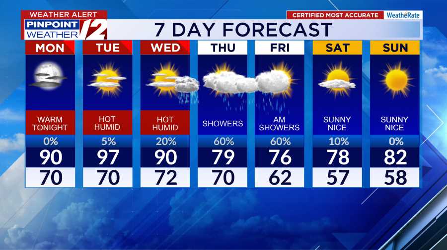
Good Morning
Our weather will continue to stay dry now through the daylight hours oF Friday. We are tracking a wintry mix of wet snow, sleet, and rain to arrive AFTER 9-10 pm Friday night. Both the morning and evening commutes look good.
Once the wet snow arrives, a change to sleet (ice pellets) and then rain will take place from south to north Friday Night. This transition will prevent any major
snow accumulations, however, small amounts are expected in the northern part of the state (see maps below). Bottomline is some slick travel after 10 pm
Rain and strong wind gusts Saturday morning. As the storm pulls away, some light “non-accumulating” snow will return by Saturday afternoon. Wind gusts to 40-50 mph
possible along the shore. Drier weather Saturday night will give way to partly sunny skies by Sunday
Hour by Hour // A close look at the upcoming conditions »
❄️Ski Report // New England forecast and resort conditions »


MESSY WEATHER FRIDAY NIGHT–SATURDAY MORNING
We’re keeping a close eye on a storm system that will bring a wintry mix and travel impacts to New England from Friday night into Saturday.
The amount of wintry weather our area sees will be dependent on the storm’s track. Right now, we’re expecting the storm to track close to the coast, leading to an eventual mix/change to rain from south to north through the night. However, before that happens, we’ll see a decent burst of wintry precipitation.
As of right now, snow accumulations look minor for most of “INLAND” RI and southeastern MA. Heavier accumulations are favored in northern MA. (Mass Pike points north) and across northern New England where plowable snow is likely. Still, enough wintry weather is expected for travel impacts later Friday night and early Saturday morning.
PRECIPITATION TYPE AND AMOUNTS FRIDAY NIGHT

MANY INLAND AREAS WILL SEE A CHANGE TO “SLEET” LATER FRIDAY NIGHT

Rain and wet snow will linger on Saturday, but temperatures above freezing during the day will prevent any accumulations in southern New England. Strong winds Saturday morning from the northeast sustained at 15-25 mph, gusts to 30-35 mph inland …..but along the coasts, gusts 40-50 mph
Pinpoint Weather 12 Links
Detailed 7-Day Forecast | Weather Now | Radar | Hour-by-Hour | Ski Report | Ocean & Bay | Solar Report | Pinpoint Traffic | Flight Tracker | Active Weather Alerts | Closings & Delays | Power Outages | Get the Weather App