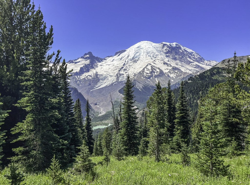

Here's a hike that takes you through a stark landscape to a stunningly lush one. Berkeley Park is a flower-filled utopia where creeks chatter, pikas squeak, marmots lounge, and you can soak in all in just a few miles from the Sunrise Visitor Center.
From the visitor center parking area at 6400 feet, climb a set of large stairs through a wide, green valley for a little more than half a mile. You'll be with crowds heading to Dege Peak and other, close-in destinations. At a ridgeline, peer over into Huckleberry Valley before turning left. You're now on the Sourdough Ridge Trail. This trail continues 1.1 miles along a highline overlooking the Sunrise Valley to a five way intersection. Here, hikers can head left to Burroughs, do a 180 and make a short loop back to Sunrise via Shadow Lake, turn right and climb to Fremont Lookout, or continue straight on to Berkeley Park.
The way to Berkeley Park now joins the Wonderland Trail briefly, passing along the rocky north side of Burroughs Mountain and descending for 1.3 miles before reaching another intersection. Here, the Wonderland continues to the left, but you'll proceed straight on, descending into a lush valley.
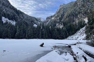
Where you begin descending is the top of Berkeley Park. The first section of the park is a lush green slope, where marmots sun on rocks, creeks tumble from higher sources, and wildflowers thrive.
Enjoy the surroundings here, or continue on to Berkeley Camp, found at the base of Berkeley Park, about a mile away. This is one of many established campsites in the park, but you do need a prereserved permit to stay here. Lunch, however, is a great way of spending time in the valley before packing your things and heading out the way you came.
Berkeley Park

-
 Length
- 7.7 miles, roundtrip
-
 Elevation Gain
- 1,700 feet
-
 Highest Point
- 6,800 feet
Parking Pass/Entry Fee
National Park PassPermits Required
Backcountry camping permit. Reserve online (no fee)
Here's a hike that takes you through a stark landscape to a stunningly lush one. Berkeley Park is a flower-filled utopia where creeks chatter, pikas squeak, marmots lounge, and you can soak it all in just a few miles from the Sunrise Visitor Center.
Continue reading
Hiking Berkeley Park
Map & Directions
 Trailhead
Before You Go
Between July 4 and September 2 visitors to this trail need a reservation to enter the park as well as a national park pass.
Parking Pass/Entry Fee
National Park PassPermits Required
Backcountry camping permit. Reserve online (no fee)WTA Pro Tip: Save a copy of our directions before you leave! App-based driving directions aren't always accurate and data connections may be unreliable as you drive to the trailhead.
Getting There
Learn how to secure your timed-entry permit for Mount Rainier National Park here.
From Enumclaw, follow SR 410 east for 43 miles until you reach Sunrise Park Rd/White River Road. Make a slight right at the fork and follow along for 5 miles and over the White River. The road then switchbacks to become exclusively Sunrise River Road and continues 10 miles to its end at the Sunrise Visitor Center and the parking area.